种子信息
[两本为地球科学服务的matlab电子书][Matlab for Earth Science-2 books][PDF][]
[ 不计下载量 ]
| 选择操作: |
种子下载 | 加入收藏 | 分享到细语 |
|---|
| 文件名: |
ZiJingBT.Matlab for Geoscience-2 books.torrent |
|---|
| 种子名称: |
for geoscience |
|---|
| 信息: |
大小:
31.69 MB | 文件数:
2 | Info Hash:
5ff998561378ba7339f4d1bc9ce704058a612df0 |
|---|
| 类别: |
学习 | 由 杜杜 (广大站友) 上传于 2016-10-30 13:47:45 |
|---|
| 活跃度: |
做种(3)/下载(0) | 完成下载 (293) (最近一次活动时间 2020-11-23 11:57:51 / 种子活动时间 2020-11-23 11:57:51) |
|---|
| 上传字幕: |
|
|---|
| 便笺: |
|
|---|
| 内容简介: |
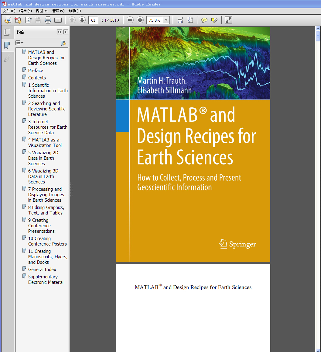
《matlab and design recipes for earth sciences》
The overall aim of the book is to introduce students to the typical course followed by a data analysis project in earth sciences. A project usually involves searching relevant literature, reviewing and ranking published books and journal articles, extracting relevant information from the literature in the form of text, data, or graphs, searching and processing the relevant original data using MATLAB, and compiling and presenting the results as posters, abstracts, and oral presentations using graphics design software. The text of this book includes numerous examples on the use of internet resources, on the visualization of data with MATLAB, and on preparing scientific presentations. As with its sister book "MATLAB Recipes for Earth Sciences-3rd Edition" (2010), which demonstrates the use of statistical and numerical methods on earth science data, this book uses state-of-the art software packages, including MATLAB and the Adobe Creative Suite, to process and present geoscientific information collected during the course of an earth science project. The book's supplementary electronic material (available online through the publisher's website) includes color versions of all figures, recipes with all the MATLAB commands featured in the book, the example data, exported MATLAB graphics, and screenshots of the most important steps involved in processing the graphics.
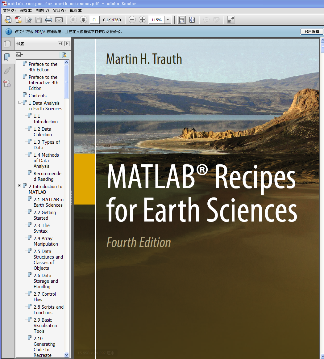
《matlab recipes for earth sciences》
MATLAB® is used for a wide range of applications in geosciences, such as image processing in remote sensing, the generation and processing of digital elevation models, and the analysis of time series. This book introduces methods of data analysis in geosciences using MATLAB, such as basic statistics for univariate, bivariate and multivariate datasets, time-series analysis, signal processing, the analysis of spatial and directional data, and image analysis. The revised and updated Fourth Edition includes sixteen new sections and most chapters have greatly been expanded so that they now include a step by step discussion of all methods before demonstrating the methods with MATLAB functions. New sections include: Array Manipulation; Control Flow; Creating Graphical User Interfaces; Hypothesis Testing; Kolmogorov-Smirnov Test; Mann-Whitney Test; Ansari-Bradley Test; Detecting Abrupt Transitions in Time Series; Exporting 3D Graphics to Create Interactive Documents; Importing, Processing and Exporting LANDSAT Images; Importing and Georeferencing TERRA ASTER Images; Processing and Exporting EO-1 Hyperion Images; Image Enhancement; Correction and Rectification; Shape-Based Object Detection in Images; Discriminant Analysis; and Multiple Linear Regression. The text includes numerous examples demonstrating how MATLAB can be used on data sets from earth sciences. The book’s supplementary electronic material (available online through Springer Link) includes recipes that include all the MATLAB commands featured in the book and the example data.
  |
|---|
| 感谢者: |
hanjing, 葛荣存, 础润, 小木鱼, 大头哥Wollfy, Hsinchu, yuke4500mg, mckon, 004fish, sapper, 许黎之, jasonmraz, marymarrine, 虾球, diligence, wmy, JackZhangNJU, Achyol, SmallKing, tony95, Gk786, hmj, 风卷残云, s0001k, yMKa, fengxibin, lovetete123, 张扬, lijun, 仲夏夜之梦, xlsthsj, fonepiece, CheshireCat, 山灵, 131010033, 冰墨魂
|
|---|
种子内容
| 文件 |
大小 |
| matlab recipes for earth sciences.pdf |
21.34 MB |
| matlab and design recipes for earth sciences.pdf |
10.35 MB |
|
发表评论